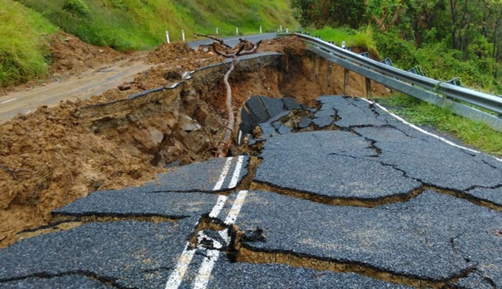
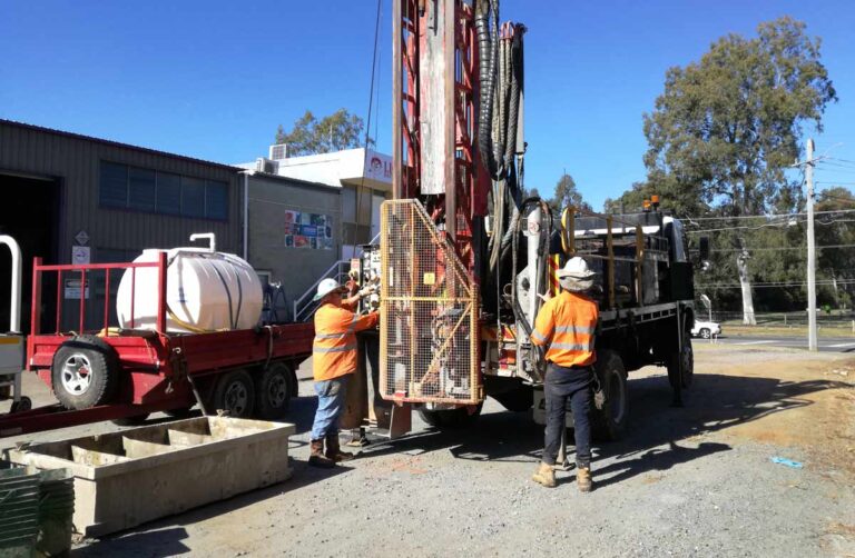
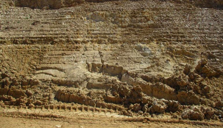
EDG’s experience and knowledge in the field of geotechnical risk assessment is market leading. We regularly carry out qualitative and quantitative risk assessments for our clients. We are well versed in both industry standard risk assessment qualitative approaches and criteria, such as the RMS Slope Risk Assessment and the Australian Geomechanics Society Guidelines, and first principles approaches such as quantitative methods used in risk to life calculations. To provide realistic judgements about hazards, including triggering mechanisms and detachment probabilities, observe and investigate each site, using rope access and drone technology where required.
We will model the hazards to understand debris trajectories and runout distances, and debris or rock fall energy at proposed barrier locations. For this we will use 3D mapping and visualisation tools and both 2D and 3D rock fall modelling software. We have extensive experience in designing barriers for rock fall and debris flows, and are well versed in the constructability of barriers, particularly in difficult access areas.
Our geotechnical risk assessment services are led by Ian Shipway, Greg Hackney and Adam Lander. Ian is particularly focussed on risk assessment, routinely conducting assessments for government and non-government clients. He was involved with the early development of the RMS Slope Risk Assessment Guidelines, regularly conducts and reviews slope risk assessments, and provides assistance and guidance to government bodies in the development of improvements and modifications to the risk assessment method and its application. Ian and Greg have authored several papers on slope risk assessment. EDG’s project experience in risk assessment and the development of design solutions to manage risks includes Kuranda Scenic Rail, Burleigh Heads National Park, Auckland Hill, several sections of the Warrego Highway, Lamington National Park, Teewah Beach and Inskip Point.
