
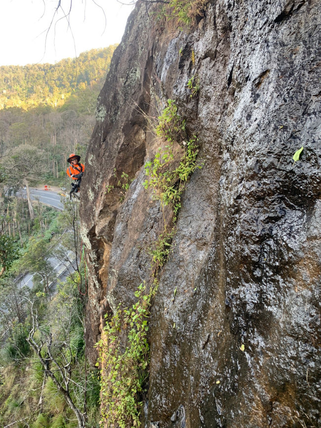
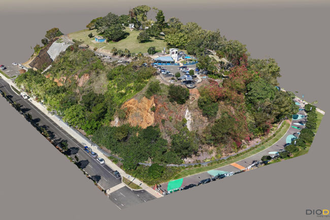
EDG regularly provides slope risk assessment services for the TMR Queensland road network, local councils and Queensland Parks and Wildlife Service. We have carried out risk assessments across Queensland. Including the Warrego Highway at Marburg and Toowoomba, within Lamington National Park, Glass House Mountains National Park, Auckland Hill, Cunningham’s Highway, Bundaberg, Burnett Highway, Mount Tambourine, Boonah-Rathdowney Road, Mount Spec Road, Paluma Range National Park and on Sarina Range. We have a thorough understanding of risk assessment systems and their application to assist in managing risk.
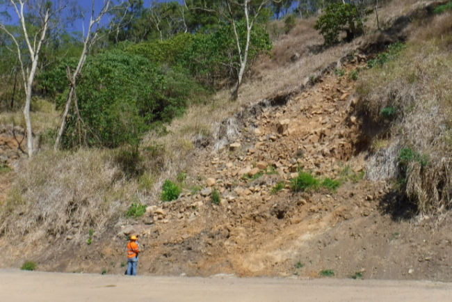
We regularly undertake hazard and risk assessments using the AGS 2007 landslide guidelines, as well as the widely adopted roading specific RMS Slope Risk Analysis system. These quantitative assessments are undertaken utilising rope access, remote aerial photography, traditional mapping, and intrusive investigation methods where required. We have four fully accredited RMS/TMR slope risk assessors within the business, and a wealth of experience within our senior team. They have extensive experience in the assessment of risks associated with soil and rock slopes.
